Celebrate GIS Day in Kane County – November 19, 2025
Kane County invites the public to GIS Day on November 19, for a chance to explore the technology that helps local government make smarter, data-driven decisions.
What is GIS?
Geographic Information Systems (GIS) are spatial geodatabase systems that allow for the creation, analysis, and mapping of geographic data. Kane County has relied on GIS since 1985 to support innovative, high-quality government services.
How is GIS Used?
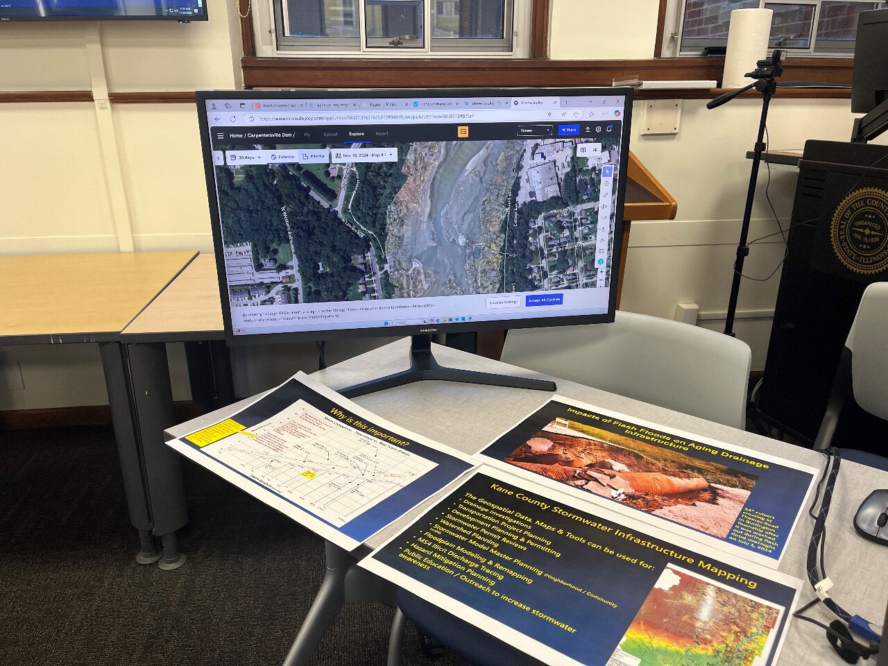
GIS is used across multiple departments to communicate, analyze, share information, and solve complex problems visually. Some of the departments using GIS include:
County Board
County Clerk
Development
Emergency Management
Forest Preserve
GIS Technologies
Information Technologies
KaneComm
Regional Office of Education
Sheriff
Supervisor of Assessments
Transportation
Treasurer
Water Resources
Why Attend?
Visitors will learn how GIS technology impacts daily operations, see interactive maps and tools, and meet the GIS professionals behind the scenes. Whether you’re a student, professional, or just curious, GIS Day is an opportunity to see how mapping and data visualization shape the community.
Event Details:
Date: November 19, 2025
Location: Kane County Government Center, Building A in the Auditorium
Time: 10 a.m. to 2 p.m.
Free and open to the public
For more information, visit Kane County GIS