Kane County to Update Road Impact Fee Program and Travel Demand Model
The Kane County Division of Transportation (KDOT) is launching an update to its Comprehensive Road Improvement Plan (CRIP), a critical component of the County's Road Impact Fee Program. Required by Illinois state law every five years, the CRIP update ensures the County can meet the infrastructure demands of growth while maintaining compliance with state statutes.
Impact fees are designed to ensure that new developments contribute to the costs of infrastructure needed to support population and traffic growth. These funds can only be used for road capacity improvements—not for maintenance—and are vital for advancing capital projects without relying entirely on property taxes. The impact fees often serve as a local match to leverage additional state and federal transportation funding. Since its adoption in 2004, the Road Impact Fee Program has generated more than $60 million (including interest) to support capacity-related road improvements.
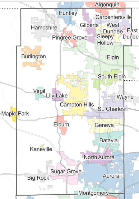
Kane County's Road Improvement Impact Fees are assessed based on the location of the development within one of three service areas—North, Central, and South - —and are based on land use and anticipated vehicle trip generation. Fees are calculated by County staff using information submitted by developers and are collected at the time of building permit issuance or issuance of the certificate of occupancy. Oversight of the program is provided by the Kane County Impact Fee Advisory Committee, which includes both public and private sector representatives.
In 2022, the Kane County Board approved a 50% discount on impact fees, with additional discounts for projects involving demolition, roadway improvements, mobility enhancements, and mixed-use developments, which remain in place today. Nonprofits and charitable organizations may also qualify for exemptions or further discounts.
A key part of the CRIP update is the modernization of the County's travel demand model, which is more than 20 years old and built on outdated software. This model helps forecast traffic volumes and assess the impact of new developments. The update will bring the model into alignment with the latest standards from the Chicago Metropolitan Agency for Planning (CMAP), allowing for more accurate projections and better coordination with regional planning.
The model and program update will support the Comprehensive Road Improvement Plan (CRIP), inform impact fee calculations, and support future transportation planning efforts. The full update process is expected to take approximately 20 months.
Learn more about the work of the Kane County Division of Transportation at https://kdot.kanecountyil.gov/Pages/Default.aspx